End of the Art Trail
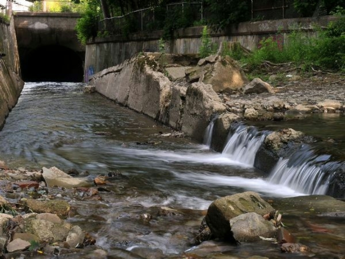
Headwaters Park is a natural fit for the end of the Art Trail, as it is the location where Mill Creek emerges from a two mile journey under the City of Erie.
Please note: No art piece will be installed at this location; only a sign.


Erie circa 1915 - Flood Damage at 6th and German, many people died at this location
During the Flood of 1915
On August 3, 1915, cloudbursts and torrential downpours of great magnitude struck the city, creating a flow of water that could not be contained. The overall drop from the Interstate to Lake Erie is 700 feet, all while the flood waters continued to grow in size and velocity. The disaster that night changed the course of Erie’s history, how it manages natural waterways, and the safety of its inhabitants.
About the Flood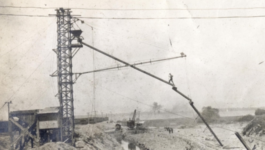
Erie circa 1918 - Pouring concrete for the Mill Creek Tube
The Mill Creek Tube
The Mill Creek Tube, an engineering feat of its time, was designed and constructed immediately after the event to protect Erie from future floods. The tube was completed in 1923.
To this day, floods from Mill Creek have not damaged the city, although records show that the tube's water level has risen to within a few feet of the 18-foot-high structure during rain events.
About the Tube
Mill Creek
This location is the mouth of Mill Creek. At this point, it's a 22-mile journey; it again opens up to daylight, channeled to its release in Presque Isle Bay several hundred yards to the north. While there are litter booms to collect surface litter before it is washed into the Bay, other items, such as chemicals and medications, cannot be separated from the flow. Please see the section on what you can do to prevent unwanted items from entering our water supply and share your knowledge.