The most notable hidden creeks in Erie County are Mill Creek, Cascade Creek and Baker Creek.

Mill Creek
Mill Creek at Headwaters Park
A Vital Waterway in Erie County
Mill Creek runs 22 miles through Erie County and is one of the region’s largest watersheds. Mill Creek is the primary drinking water source for the City of Erie and Millcreek Township. Erie Water Works cleans the water before it comes out of your tap.
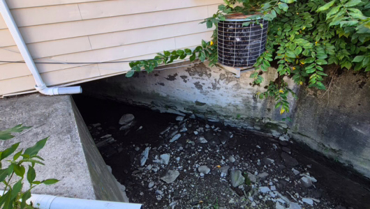
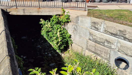
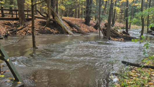
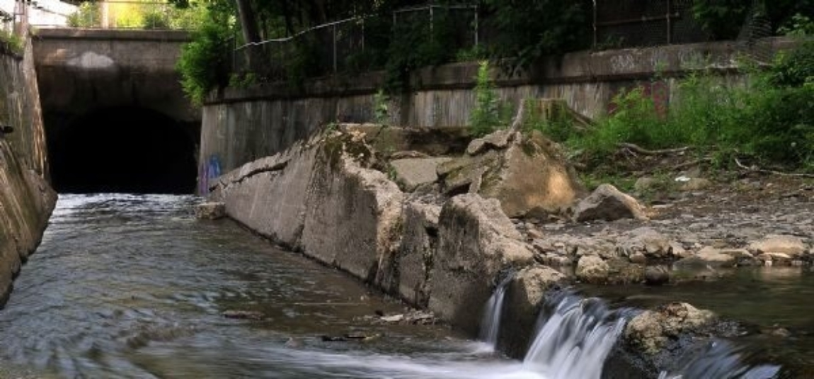
The creek begins as a small trickle in Headwaters Park near Route 8 and Interstate 90. As it travels into Presque Isle Bay, it winds through neighborhoods, forests, and open areas — even cutting right through the heart of the Erie Zoo. Beyond the zoo, the creek disappears underground and continues beneath the city, in the Mill Creek Tube, for the final two miles before reaching Lake Erie.
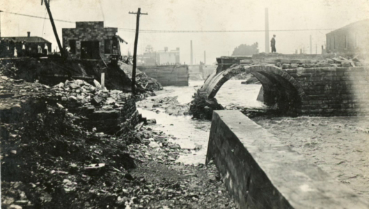
Erie circa 1915 - Flood Damage
A History Above — and Below — Ground
More than a century ago, Mill Creek mainly flowed in the open. Bridges crossed its waters, children played along its banks, and — as Erie’s industry grew — factories and homes used it as a dumping ground.
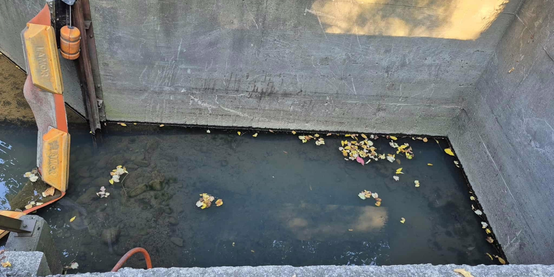
To manage flooding and urban expansion, the city eventually enclosed portions of the creek in what is now known as the Mill Creek Tube. Over time, additional storm drains were connected to the Tube, sometimes unintentionally routing runoff into the creek system.
Protecting Mill Creek Today
Mill Creek is more than a hidden waterway — it’s part of our drinking water supply. Efforts are ongoing to clean, monitor, and protect the creek to ensure a healthier future for Erie County residents. What goes into Lake Erie is returned to us through the tap, in our homes and businesses. It is vital for our own health that we protect the health and cleanliness of Mill Creek and the other creeks in our region (and around the world; it all flows somewhere).
Cascade Creek
A Waterway Shaped by History
Cascade Creek has played a powerful role in Erie’s development for centuries. Its strong flow once carved a deep pool at its mouth — perfect for early shipbuilding.
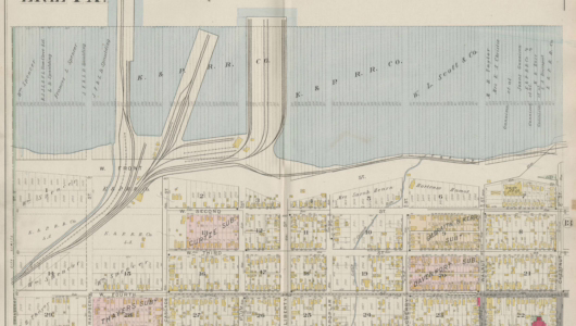
Map of the Cascade Docks, circa 1900
From Shipbuilding to Industry
During the War of 1812, shipbuilders took advantage of the creek’s natural depth to construct historic vessels like the U.S. Brig Niagara, U.S. Brig Lawrence, and the schooner Ariel.
About 50 years later, as trade and transportation expanded, three Cascade Docks were planned. The middle dock was set to be built right where the creek’s deep basin was located. To prevent the creek from depositing sediment and filling in that vital depth, the creek’s mouth was relocated west to where it remains today.
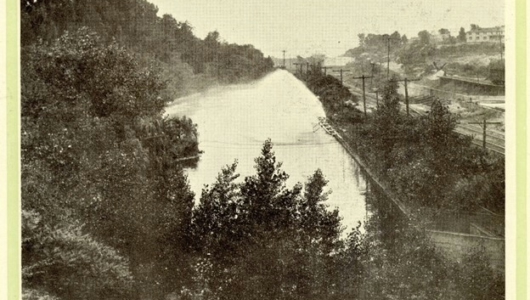
Strong’s Pond, circa 1900
The Age of Urban Development
As Erie grew, most of Cascade Creek was buried beneath industrial development, leaving only the northern section exposed.
In the early 1900s, the Erie County Electric Company — led by president Charles Strong — built a power plant at 5th and Cranberry. To cool the plant’s machinery, the creek was rerouted with concrete walls into a manmade cooling pond known as Strong’s Pond. Overflow from the pond returned to the creek and eventually flowed into Presque Isle Bay.